
BOULDER, Colorado, Oct 23 — Antarctic sea ice probably reached its winter maximum on September 14, 2026, at just 17.59 million square kilometers, the third-lowest winter maximum in the satellite record, according to the National Snow and Ice Data Center (NSIDC). The reading completes a remarkable run: the four lowest winter sea-ice maxima ever recorded have all occurred in the last four years, and scientists say the pattern points to a Southern Ocean system that is changing faster than models predicted.
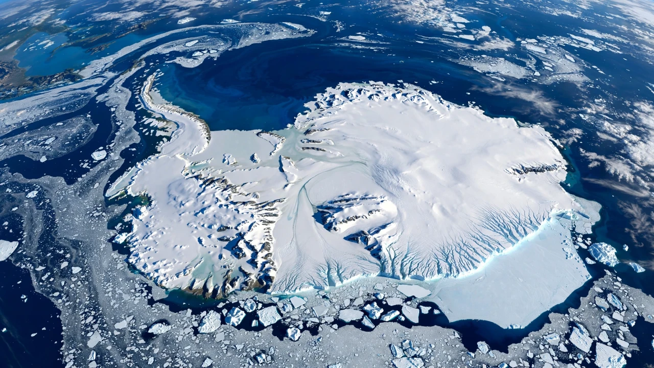
Illustration: satellite-style view of Antarctica surrounded by white sea ice floating on the deep blue Southern Ocean
What Happened
The National Snow and Ice Data Center reported that Antarctic sea ice most likely peaked on September 14, 2026, at 17.59 million square kilometers (6.79 million square miles). The figure, drawn from the NSIDC Sea Ice Index, is still preliminary, but if confirmed it would rank as the third-lowest winter maximum since satellite monitoring began in late 1978, behind only 2024 and 2023, the record-low year.
The extent stands roughly 1.1 million square kilometers below the 1981–2010 average — an area of missing ice about twice the size of Spain, as noted in coverage of the NSIDC announcement. Together with 2023, 2024 and 2025, this year completes the sequence of the four lowest winter maxima in the full satellite record.
The UK Met Office's October 2026 end-of-season report offered a similar reading from a separate dataset: Antarctic sea-ice extent for September 2026 was 17.76 million square kilometers according to the OSI SAF Sea Ice Index, the third-lowest September extent in the satellite era (the record stands at 17.35 million square kilometers in 2023), and 1.08 million square kilometers below the 1981–2010 average. The Met Office analysis added a regional detail: sea ice was above average around the Antarctic Peninsula and in the Ross Sea, but near or below average elsewhere — and considerably lower than the record year of 2023 in the Amundsen Sea. Notably, at the end of September the extent was briefly record low once again, after an early-spring melt pulse driven by a shifting high-pressure ridge.
NSIDC had flagged the trajectory early. On September 23, the center posted that Arctic sea ice had reached its minimum — the 10th lowest on record — while Antarctic ice "may have topped out at 3rd lowest maximum in the satellite record," with a full analysis to come in early October.
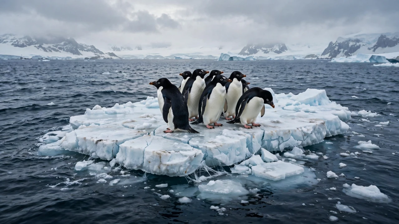
Illustration: Adelie penguins standing on a shrinking ice floe at the edge of open Antarctic ocean water
Background
Antarctic sea ice behaves very differently from its Arctic counterpart. It grows enormously each winter — expanding to roughly 17 million square kilometers in September — then melts back to under two million square kilometers each summer. It is surrounded by open ocean and responds freely to winds and atmospheric conditions, so year-to-year variability is much larger than in the Arctic.
For decades, that variability masked any trend. Since satellite monitoring began in 1979, the Antarctic trend was near zero: 2013 and 2014 even set record highs, before the ice plummeted in late 2015 and has stayed below the long-term average ever since. The last four years have now tugged the trend for all months into negative territory.
Scientists have been hunting for the physical mechanism. A study published in Science Advances in May 2026 identified three stages in the decade-long decline. In the early-to-mid 2010s, westerly winds around Antarctica began drawing warm deep water closer to the surface. Then, unusually strong winds in 2015–2016 increased mixing between deep and surface waters, letting heat reach the surface and triggering rapid sea-ice loss, especially in East Antarctica. After 2018, the decline itself turned surface waters warmer and saltier, making it harder for new ice to grow in winter. Regional differences matter: in East Antarctica the loss was driven mainly by heat rising from the ocean below, while in West Antarctica it was linked to increased cloud cover and heat trapped near the ocean surface.
This year's conditions added extra stress. Antarctica experienced a summer heatwave with temperatures around 20 degrees Celsius above normal, and winds linked to the El Niño climate cycle churned the waters, partly contributing to the melt. The Met Office's seasonal analysis described a strong positive phase of the Southern Annular Mode early in the winter driving powerful westerly winds, followed by a high-pressure ridge over West Antarctica that sent warm northerly winds into the Amundsen Sea.
Why It Matters
Sea ice is not just a thermometer reading; it is an active player in the climate system. It reflects incoming solar radiation back into space, shapes exchanges between the ocean and the atmosphere, and structures the habitat of the Southern Ocean's food web. When sea ice shrinks, darker ocean absorbs more heat, which in turn makes the next winter's regrowth harder — a feedback loop that worries researchers.
The ecological stakes are concrete. Reduced sea ice threatens the habitat of krill and algae — tiny organisms at the base of the food chain that support penguins, seals and whales. And beyond the seasonal ice, the floating ice shelves that fringe the continent act as buttresses holding back the glaciers of the Antarctic ice sheet. If those glaciers advanced unchecked, they hold enough ice to raise global sea levels by as much as 58 meters, a catastrophe for the roughly one billion people living in coastal communities around the world.
Scientists quoted in coverage of the new data chose blunt language. Dr. Ariaan Purich, a Southern Ocean expert at Monash University in Melbourne, said: "The past four winters have had the lowest sea ice maximum on record — that's a very clear indication of a system that has changed. This is not a one-off event any more. The sea ice is no longer covering the same extent of ocean that it used to. We are seeing low winter after low winter and that suggests the sea ice is behaving differently because we have warmed our climate. This is not a future problem. It's a now problem."
Dr. Will Hobbs, an Antarctic sea-ice expert at the University of Tasmania, called the situation potentially "really worrying" and said "the system is changing faster than we are understanding it."
Not everyone rushes to the same conclusion. Ted Scambos, a research scientist at the University of Colorado's Cooperative Institute for Research in Environmental Sciences and a contributor to NSIDC's Sea Ice Today, cautioned that it is still hard to attribute the downturn definitively: "Even with 48 years of data, we have never had a solid trend." But he added that several recent studies have implicated warmer ocean water mixing into the upper ocean layer: "if that cause and effect both persist, I would lean toward anthropogenic, human-caused global warming as the cause."
The modeling community is also flashing warnings. The Ice Sheet Model Intercomparison Project (ISMIP6), an international effort, has built an archive of Antarctic simulations showing the region will lose more ice than it gains this century even if warming is kept within 1.5°C thresholds — while a continued high-emissions scenario could lead to permanent flooding in the homes of 10 million people by 2100.
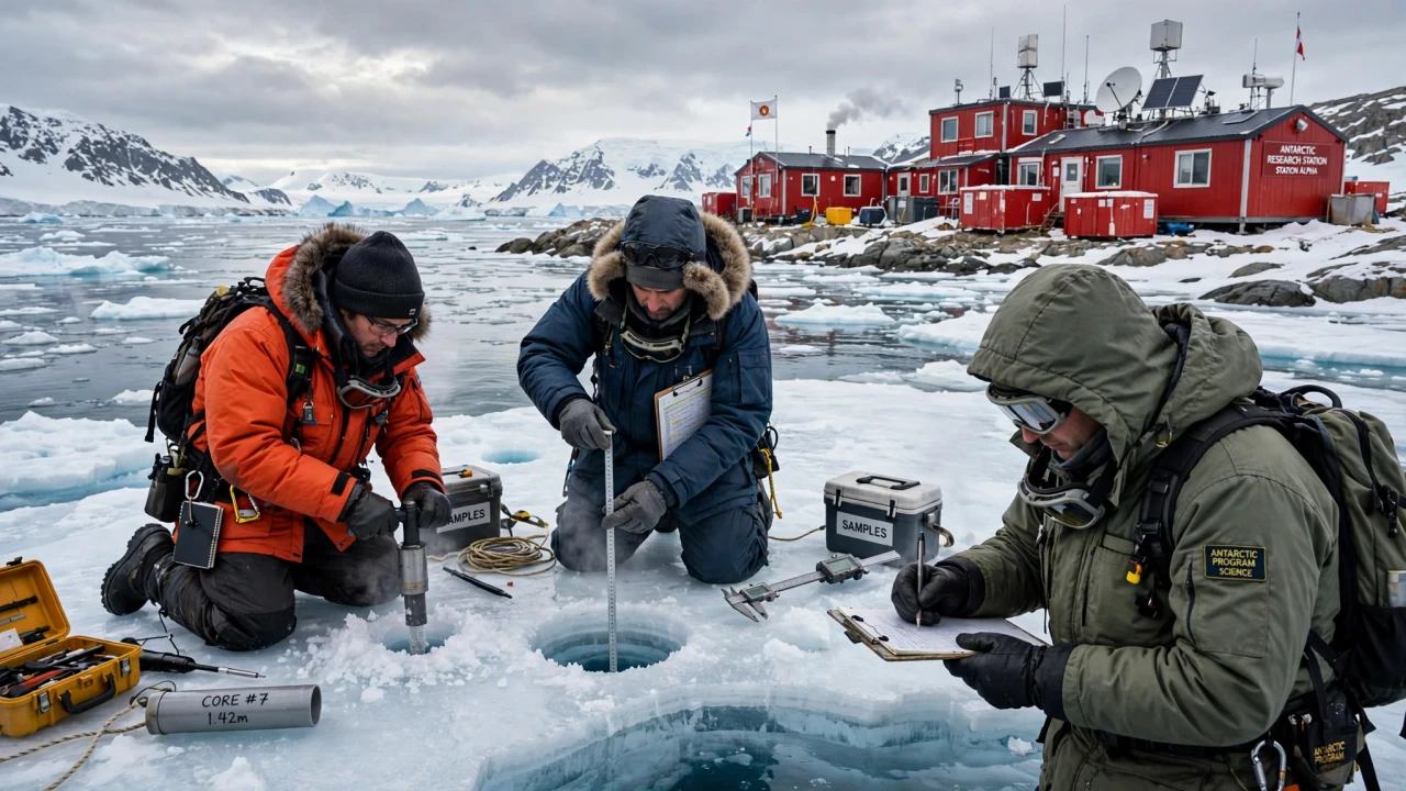
Illustration: scientists in cold-weather gear measuring sea ice thickness near an Antarctic research station with red buildings
What Happens Next
NSIDC's full analysis of the 2026 season, expected in early October, will confirm whether the September 14 reading stands as the official winter maximum and refine the numbers. The center's monthly Sea Ice Today updates will continue tracking the ice through the austral spring melt season — and the Met Office noted that at the end of September the extent was briefly record low once again, so the final verdict could still shift.
Attention then turns south for the austral summer. Researchers will watch whether the 2026–27 melt season produces another extreme summer minimum, and whether the ocean-heat mechanisms identified in the Science Advances study continue to operate. Each additional year of low ice adds weight to the hypothesis that the Southern Ocean has crossed into a new, lower-ice regime.
The policy calendar gives the story added weight. With the COP31 climate summit opening in Antalya, Türkiye, on November 9, the third-lowest maximum on record becomes another data point in the negotiations — alongside the UNEP Emissions Gap Report's warning that 1.5°C will be breached — about how quickly the physical climate system is moving relative to the political one.
Sponsored: explore today's featured sponsored offers
FAQ
How low was Antarctic sea ice in winter 2026?
The National Snow and Ice Data Center reported that Antarctic sea ice most likely reached its winter maximum on September 14, 2026, at 17.59 million square kilometers — the third-lowest maximum in the satellite record, behind 2024 and 2023. The UK Met Office, using a separate dataset, put September extent at 17.76 million square kilometers, also the third-lowest September extent on record.
Why is the four-year pattern significant?
According to NSIDC, the last four years — 2023, 2024, 2025 and 2026 — have produced the four lowest winter sea-ice maxima in the nearly 50-year satellite record. Scientists such as Dr. Ariaan Purich of Monash University say the persistence of low winters shows the ice is behaving differently, rather than fluctuating randomly around a stable average.
What is causing the decline?
Research published in Science Advances in May 2026 points to Southern Ocean winds pulling warm deep water toward the surface, a process that accelerated after 2015–2016 and then became self-reinforcing as warmer, saltier surface waters made winter regrowth harder. This year's El Niño-linked winds and a summer heatwave 20°C above normal added to the stress. Researcher Ted Scambos cautions that definitive attribution remains difficult, but says he would lean toward human-caused warming if the ocean-heat mechanism persists.
Does less sea ice raise sea levels?
Sea ice itself floats, so its melting does not directly raise sea levels. The danger is indirect: reduced sea ice is linked to warming ocean conditions that threaten the floating ice shelves buttressing Antarctic glaciers. Those land glaciers hold enough ice to raise global sea levels by as much as 58 meters if they advanced unchecked.
How is Antarctic sea ice measured?
Antarctic sea ice has been tracked continuously since 1979 by sensors on US Defense Meteorological Satellite Program satellites and NASA instruments, giving the longest homogeneous record of the variable. NSIDC in Boulder, Colorado, processes and publishes the data through its Sea Ice Index; "extent" means the area of ocean with at least 15 percent ice concentration.
Sources
- National Snow and Ice Data Center (NSIDC), Sea Ice Index — Antarctic sea ice winter maximum 2026 (17.59 million km², preliminary, Sept 14), via climate.us, October 2026
- UK Met Office, "Arctic and Antarctic end-of-season report — October 2026" (September 2026 Antarctic extent 17.76 million km², OSI SAF Sea Ice Index)
- NSIDC (@NSIDC), post on September 23, 2026: Antarctic sea ice "may have topped out at 3rd lowest maximum in the satellite record"; full analysis in early October
- Travel Tomorrow, "Antarctic winter sea ice falls to third-lowest level on record," October 2, 2026 (quotes: Dr. Ariaan Purich, Monash University; Dr. Will Hobbs, University of Tasmania; ISMIP6 projections; summer heatwave 20°C above normal)
- International Cryosphere Climate Initiative, "Drivers of Antarctica's Record-Low Sea Ice Decline," May 26, 2026 (summarizing Science Advances, May 8, 2026: three stages of decline, East vs West Antarctica mechanisms)
Comments
Post a Comment