
Nepal Plans Flood Warnings Across Six River Basins and Action at Four Risky Glacial Lakes After Deadly August Floods
KATHMANDU — Nepal's government announced on 25 October 2026 plans to expand flood early-warning systems across six river basins and to lower water levels at four high-risk glacial lakes, according to reports by IANS and Xinhua. The plans, re-reported on 30 October, respond to the floods of 26 August 2026, which killed about 1,500 people, left more than 5,000 missing, and caused preliminary physical damage estimated at $1.81 billion. Crucially, these are plans and white papers, not completed works.

Illustration: A river basin in Nepal during monsoon season, with an early-warning station on the riverbank. AI illustration, not a real photograph.
What Happened
According to the reporting, the announcement covers two linked programmes. The first is the Priority River Basins Flood Risk Management Project, running from 2022 to 2028 and valued at $7.54 million. It covers six basins: Mawa-Ratuwa, Bakraha, Lakhandehi, East Rapti, West Rapti, and Mohana-Khutiya, with round-the-clock forecasting and early warning from mid-May to mid-October, the heart of the monsoon season.
The second is the GLOF Sanjeevani Project, running from 2026 to 2033 and valued at about $49.9 million. GLOF stands for glacial lake outburst flood, the sudden release of water when a lake dammed by ice or loose rock fails. Nepal plans to lower water levels at Thulagi in Manang, Lower Barun in Sankhuwasabha, and Lumding Tsho and Hongu-2 in Solukhumbu, reducing both the volume that could be released and pressure on each natural dam.
The Department of Hydrology and Meteorology also plans to use artificial intelligence, machine learning, and high-performance computing to sharpen forecasts. The plans are attributed to the Centre for Hydrology and Water Resources Research and the department, secretariat to the Ministry of Energy, Water Resources and Irrigation. No completion dates for the individual lake works were given, so this should be read as a statement of intent, not as a report that the lakes have already been lowered.

Illustration: A high Himalayan glacial lake held back by a rocky moraine dam, with a monitoring team on the shore. AI illustration, not a real photograph.
Background
Nepal's geography makes it unusually exposed to both risks. In the lowlands and mid-hills, monsoon rains swell rivers draining densely populated valleys, where a few hours of warning can determine whether families, livestock, and harvests can be moved to safety. In the high Himalayas, retreating glaciers have left behind growing lakes above settlements, roads, bridges, and hydropower infrastructure.
The new lake project builds on earlier lowering work at Tsho Rolpa and Imja Lake, according to the reporting. Those efforts showed lowering a glacial lake is technically possible, but slow, expensive, and logistically demanding at high altitude, where the working season is short — helping explain the timetable through 2033 and the price tag of about $49.9 million.
The August 2026 floods give the announcement its urgency: about 1,500 people were killed and more than 5,000 left missing, with preliminary physical damage estimated at $1.81 billion. That is a preliminary physical-damage estimate, not a total recovery-needs figure, which would cover a different and wider set of costs.
Why It Matters
Early warning is one of the most cost-effective forms of flood protection, because it converts a forecast into time: time to evacuate, move belongings and animals, and for authorities to close roads and open shelters. Round-the-clock operation through the monsoon, from mid-May to mid-October, covers exactly when that time matters most, and covering six basins matters because monsoon flooding is rarely confined to one catchment.
The glacial-lake measures address a slower-moving risk. An outburst flood can arrive below with little warning, carrying water, sediment, and debris at destructive speed. Lowering the four named lakes would not eliminate the risk entirely, but it is intended to reduce the worst-case volume of a sudden release — a significant gain for downstream communities, trekking routes, and hydropower and transport infrastructure.
The planned forecasting technology also matters, if it delivers. Mountain weather is notoriously hard to predict, and sharper forecasts could improve river warnings and lake monitoring. But the reporting does not detail which models will be used or how accuracy will be tested, so that part is an ambition to be verified as it develops.
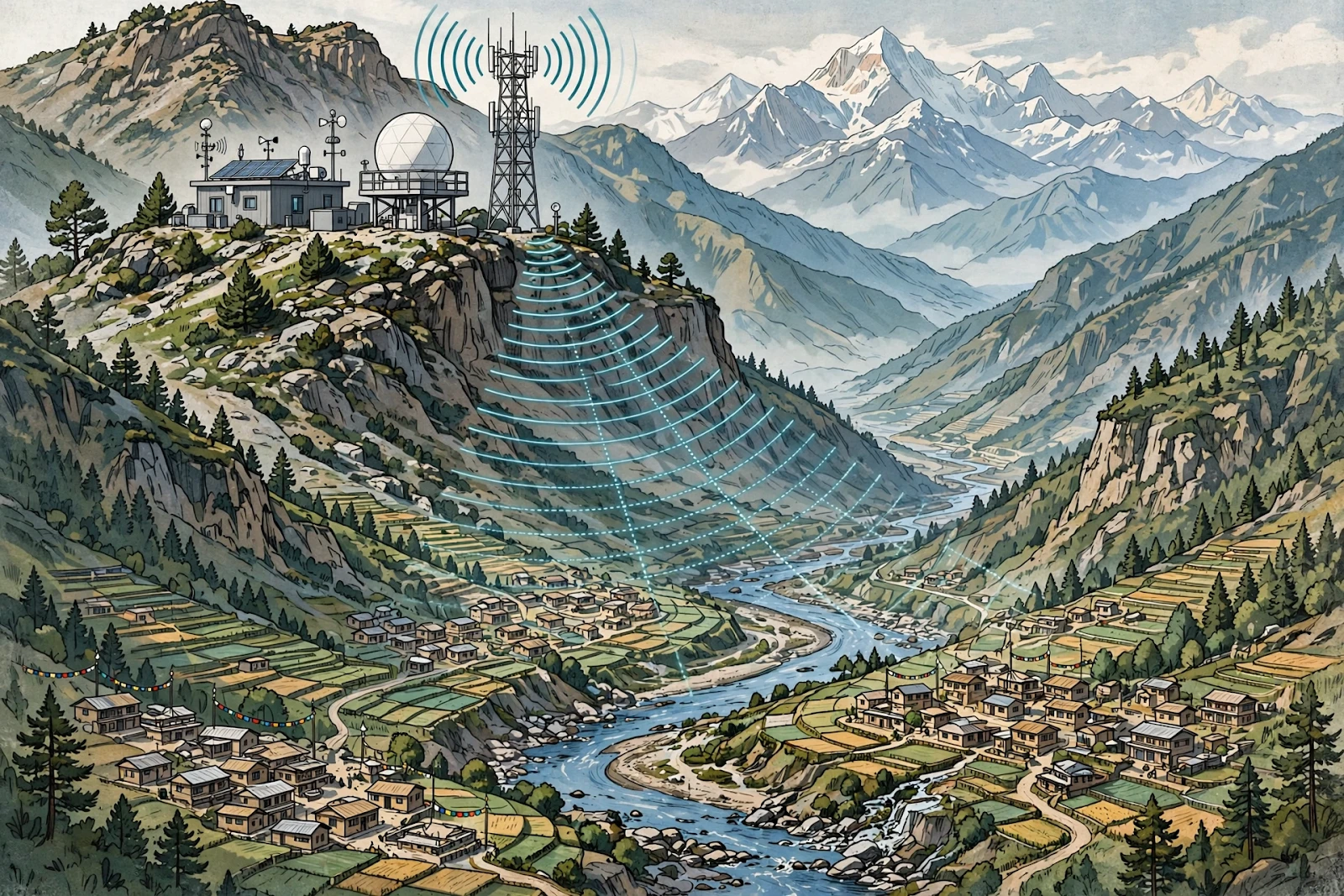
Illustration: A Himalayan valley with a flood forecasting and early-warning station sending alerts toward villages below. AI illustration, not a real photograph.
What Happens Next
The next test will be implementation. For the river-basin project, already running from 2022 to 2028, the question is whether round-the-clock warnings reach all six basins reliably through each monsoon, in a form people at risk can act on. For the GLOF Sanjeevani Project, running to 2033, the milestones to watch are the start of work at each lake, published engineering and environmental assessments, and evidence that water levels are falling.
Observers should also watch for funding updates, forecasting-technology details, and revised casualty or damage figures. Until those milestones appear, the fair summary remains: Nepal has announced ambitious plans to warn earlier and make four dangerous lakes safer, after a catastrophe that showed why both are needed.
Sponsored: explore today's featured sponsored offers
FAQ
What did Nepal announce on 25 October 2026?
According to IANS and Xinhua, Nepal announced plans to expand flood early warnings across six river basins and lower water levels at four high-risk glacial lakes, after the deadly floods of 26 August 2026.
Which six river basins are covered by the early-warning project?
The Priority River Basins Flood Risk Management Project covers Mawa-Ratuwa, Bakraha, Lakhandehi, East Rapti, West Rapti, and Mohana-Khutiya, with round-the-clock forecasting and early warning from mid-May to mid-October.
Which four glacial lakes are targeted, and what is the project called?
The GLOF Sanjeevani Project, running from 2026 to 2033 at about $49.9 million, targets Thulagi in Manang, Lower Barun in Sankhuwasabha, and Lumding Tsho and Hongu-2 in Solukhumbu.
Are these flood-protection works already completed?
No. The reporting describes plans and white papers, not completed works. The lake-lowering project runs to 2033, so its success will be judged by implementation milestones in the years ahead.
How deadly were the August 2026 floods in Nepal?
According to the reporting, the floods of 26 August 2026 killed about 1,500 people, left more than 5,000 missing, and caused preliminary physical damage estimated at $1.81 billion. That damage figure should not be confused with a total recovery-needs figure.
Sources
IANS, 25 October 2026, on Nepal's flood early-warning and glacial-lake plans. Xinhua, via Kathmandu reporting, on the two projects. Re-reporting on 30 October 2026. Details attributed to the Centre for Hydrology and Water Resources Research and the Department of Hydrology and Meteorology, secretariat to the Ministry of Energy, Water Resources and Irrigation.
Comments
Post a Comment