
A severe drought gripping New Guinea amid a strong El Niño has fueled weeks of wildfires shrouding the world's second-largest island in thick smoke, with Papua New Guinea on track for its worst fire year on record. Soaring air pollution has delayed and canceled flights, closed schools, and prompted mask advisories for children and older people, as fires released nearly 32 megatons of carbon in Papua New Guinea alone.
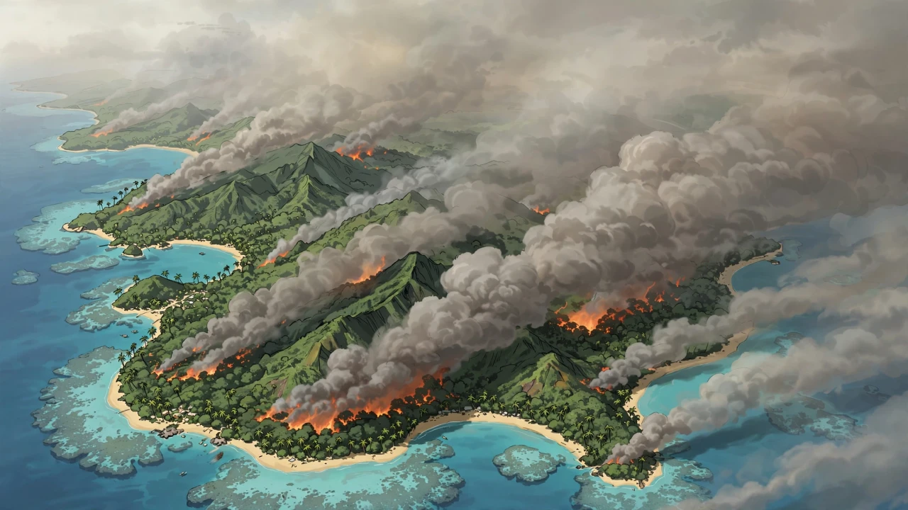
Illustration: thick smoke streaming over the island of New Guinea, captured conceptually from above. This is an AI-generated illustration, not a real photograph.
What Happened
Through September and October 2026, fires have scorched New Guinea as drought parched a landscape more famous for its rainforests than its fire seasons, according to NASA's Earth Observatory, which featured the crisis as its Image of the Day on October 22, 2026. The VIIRS instrument aboard the NOAA-20 satellite captured an image of thick smoke streaming from the southern part of the island on October 11, 2026, and smoke has shrouded large swaths of the island for weeks, disrupting daily life on both the Papua New Guinean and Indonesian sides of the border.
The public-health toll has been immediate: flights delayed and canceled, schools closed, and mask advisories for children and older people. Much of the smoke stays near the surface, keeping air quality hazardous. "A lot of smoke stays near the surface and causes air quality problems," said Robert Field, an associate research scientist at NASA's Goddard Institute for Space Studies and Columbia University. "It's a horrible situation."
The emissions numbers are stark. According to the Global Fire Emissions Database (GFED), fires in Papua New Guinea had released nearly 32 megatons of carbon by October 19 — more than any other year on record at that point in the season. "It's very likely that this will become the highest year on record for Papua New Guinea, even surpassing 1997," said Guido van der Werf, a fire scientist at Wageningen University & Research. On the Indonesian side, emissions exceeded 35 megatons — the third highest after the El Niño fire years of 2015 and 1997.
The drought is extraordinary for a normally wet region. The Trans-Fly savannas of southern Papua New Guinea went more than 90 consecutive days without rain, with 5 to 10 percent of normal precipitation since August, according to the national weather service. Local outlets report crop failures, water shortages and school disruptions compounding the misery of the smoke.
Background
The crisis is rooted in the strong El Niño gripping the Pacific through 2026, which has shifted rainfall patterns and primed ecosystems to burn — turning even rainforest margins flammable. Researchers say people ignite the vast majority of New Guinea's fires: crop burning, pasture maintenance, deforestation, land clearing and hunting. In such dry conditions, managed fires escape and burn uncontrolled, particularly in the drier south.
The geography of this year's fires marks a shift in Indonesia's fire landscape. "We're seeing an exceptionally high level of fire activity in Papua New Guinea and Eastern Indonesia, particularly Indonesian Papua and Kalimantan, this year compared with Sumatra and other parts of Western Indonesia," said Yang Chen, an associate researcher at the University of California, Irvine. "Papua has emerged as Indonesia's new deforestation frontier." Over the past two decades, land in Indonesian Papua has been cleared for industrial oil palm and pulpwood plantations, shifting small-scale cultivation, urban expansion and mining — and according to Global Forest Watch, the region lost 27,000 hectares of primary forest in 2025, nearly double the 2024 total and the most since 2017.
Sumatra's quieter fire season illustrates the dynamics. Field noted its fires are relatively low partly because many areas are already developed, and large plantations often run private fire brigades. "It's in unmanaged areas or primary forest edges where we're generally seeing the most fire," he said. The frontier has moved: fires now rage where forests are still being opened.
This is not New Guinea's first catastrophic fire season: 1997 and 2015 were both severe El Niño events that produced choking haze across Southeast Asia. That 2026 is already surpassing 2015's emissions in Papua New Guinea and challenging 1997 places it among the most destructive seasons in nearly three decades of satellite records.
Why It Matters
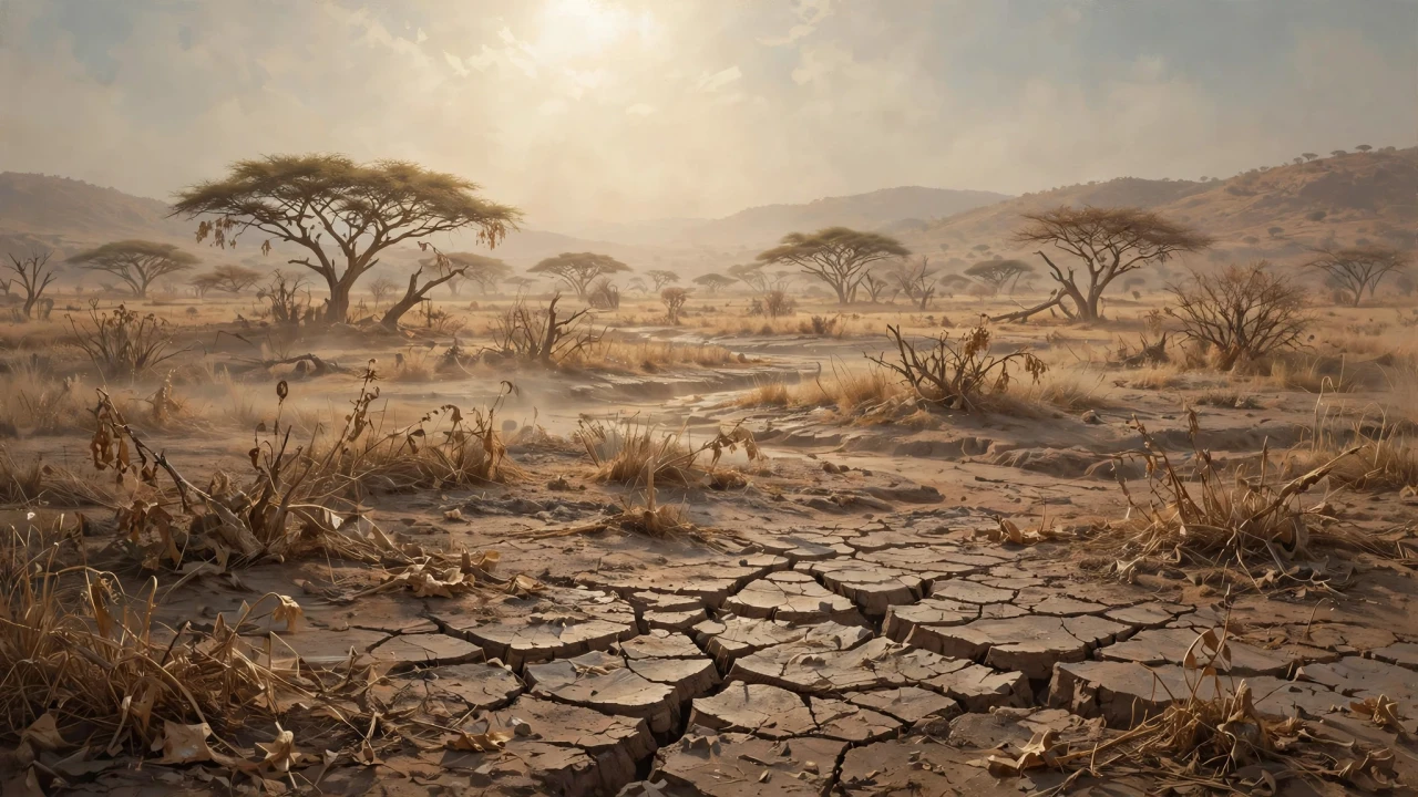
Illustration: a drought-parched savanna during the strong El Niño. This is an AI-generated illustration, not a real photograph.
The New Guinea fires matter because they sit at the intersection of three of the decade's defining environmental crises: a record El Niño, accelerating tropical deforestation, and the feedback loop between fires and the carbon cycle. Tens of megatons of carbon released from burning forests and peatlands do not just measure a bad fire season — they represent carbon that took centuries to accumulate being returned to the atmosphere in weeks, at precisely the moment the world is struggling to bend the emissions curve downward.
The human cost is equally urgent. Unlike the remote boreal fires that burn far from cities, New Guinea's smoke settles directly onto communities already stressed by drought: crops failing, water running short, schools closed, flights grounded. The people most affected are among the least equipped to cope — rural communities in Papua New Guinea and Indonesian Papua with limited access to air filtration, healthcare and emergency services. For them, the haze is not a distant environmental story but weeks of burning eyes, canceled livelihoods and children kept home from school.
The deforestation dimension gives the crisis a longer tail. With Indonesian Papua losing primary forest at its fastest rate in nearly a decade, each fire season degrades what remains and worsens the next: cleared edges dry out and peatlands turn flammable. Breaking that cycle will take more than rain — it will take land-use policies that value standing forest over cleared land.
What Happens Next
The most immediate relief will come from the sky: researchers expect fires to continue until the wet season's heavy rains arrive in southern New Guinea, typically in early November. Sustained rain should dampen the fires and wash out the smoke, though peat fires can smolder underground long after surface flames are out.
The final emissions tally will be closely watched: if the current pace holds, 2026 will surpass 1997 as Papua New Guinea's worst fire-emissions year on record — a grim milestone for refining models of how El Niño, drought and land-use change interact.
Beyond this season, the crisis sharpens questions for Indonesia about whether recent deforestation progress can survive the pressures in Papua — the archipelago's last great forest frontier. And for the climate, it is a reminder that the carbon budget is spent not only in power plants and tailpipes, but in smoke rising from islands the world rarely watches.
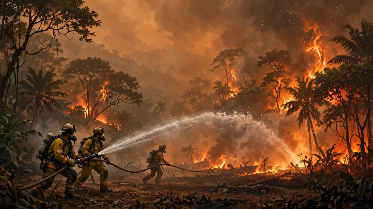
Illustration: firefighters battling a tropical forest fire under thick haze. This is an AI-generated illustration, not a real photograph.
Sponsored: explore today's featured sponsored offers
FAQ
What is happening in New Guinea?
Drought driven by a strong El Niño has fueled weeks of wildfires across New Guinea in September and October 2026. Thick smoke has disrupted flights, closed schools and created hazardous air quality, while fire carbon emissions hit record or near-record levels on both the Papua New Guinean and Indonesian sides.
How bad are the fire emissions this year?
Fires in Papua New Guinea had released nearly 32 megatons of carbon by October 19, 2026 — more than any other year on record at that point in the season, and likely to surpass 1997 overall. On the Indonesian side, emissions exceeded 35 megatons, the third highest after the El Niño fire years of 2015 and 1997.
What caused the drought and fires?
A strong El Niño shifted rainfall patterns, leaving parts of New Guinea extraordinarily dry — the Trans-Fly region went 90+ days without rain, with 5 to 10 percent of normal precipitation since August. Most fires are set by people for crops, pasture, land clearing and hunting, but in such dry conditions they escape and burn uncontrolled.
Who is most affected by the smoke?
Communities across Papua New Guinea and Indonesian Papua bear the brunt: flights delayed and canceled, schools closed, mask advisories for children and older people. The drought is also causing crop failures, water shortages and school disruptions, with smoke keeping air quality hazardous for weeks.
When will the fires end?
Researchers expect fires to continue until the wet season's heavy rains arrive in southern New Guinea, typically in early November. Sustained rainfall should suppress the fires and clear the smoke, though peat fires can smolder underground afterward.
Sources
- NASA Earth Observatory — "Fires Char New Guinea," Image of the Day, October 22, 2026 (story by Adam Voiland)
- Global Fire Emissions Database (GFED) — fire emissions data, accessed October 21, 2026
- Guido van der Werf, Wageningen University & Research — via NASA Earth Observatory, October 22, 2026
- Robert Field, NASA Goddard Institute for Space Studies / Columbia University — via NASA Earth Observatory, October 22, 2026
- Yang Chen, University of California, Irvine — via NASA Earth Observatory, October 22, 2026
Comments
Post a Comment